Getting Around·Updated September 2026·9 min read
Main Istanbul Metro, Tram and Funicular Lines for Tourists
On this page
- The Airport Lines: M11 and M4
- M2 – Yenikapı–Hacıosman Metro Line
- M6 – Levent–Boğaziçi Ü./Hisarüstü Metro Line
- T1 – Kabataş–Bağcılar Tramway Line
- T5 – Eminönü–Alibeyköy Tramway Line
- F1 – Taksim–Kabataş Funicular
- F2 – Karaköy–Beyoğlu (Tünel) Funicular
- M1a – Yenikapı–Atatürk Havalimanı Metro Line
- Istanbul Transportation Map for Tourists
Here’s a list of essential Istanbul metro, tram and funicular lines. For every line, I highlight important places of interest it passes and the respective stop you have to get off to reach those. You’ll also find the operating times and frequency. This is also by no means an overview of every public transportationUse Public Transportation in Istanbul to Reach Most Places of Interest line Istanbul has to offer, but merely the most interesting ones for tourists (see mapIstanbul Transportation Map With Places of Interest).
Flying in or out of Istanbul? Start with the airport lines, covered first below. The metro line that used to serve the airport no longer does. You pay for all of these with an İstanbulkartHow to Get an Istanbul Kart, and is it Worth It.
The Airport Lines: M11 and M4
Istanbul has two working passenger airports, and each now has a rail link.
M11 – Gayrettepe–İstanbul Havalimanı–Halkalı Line for Istanbul Airport
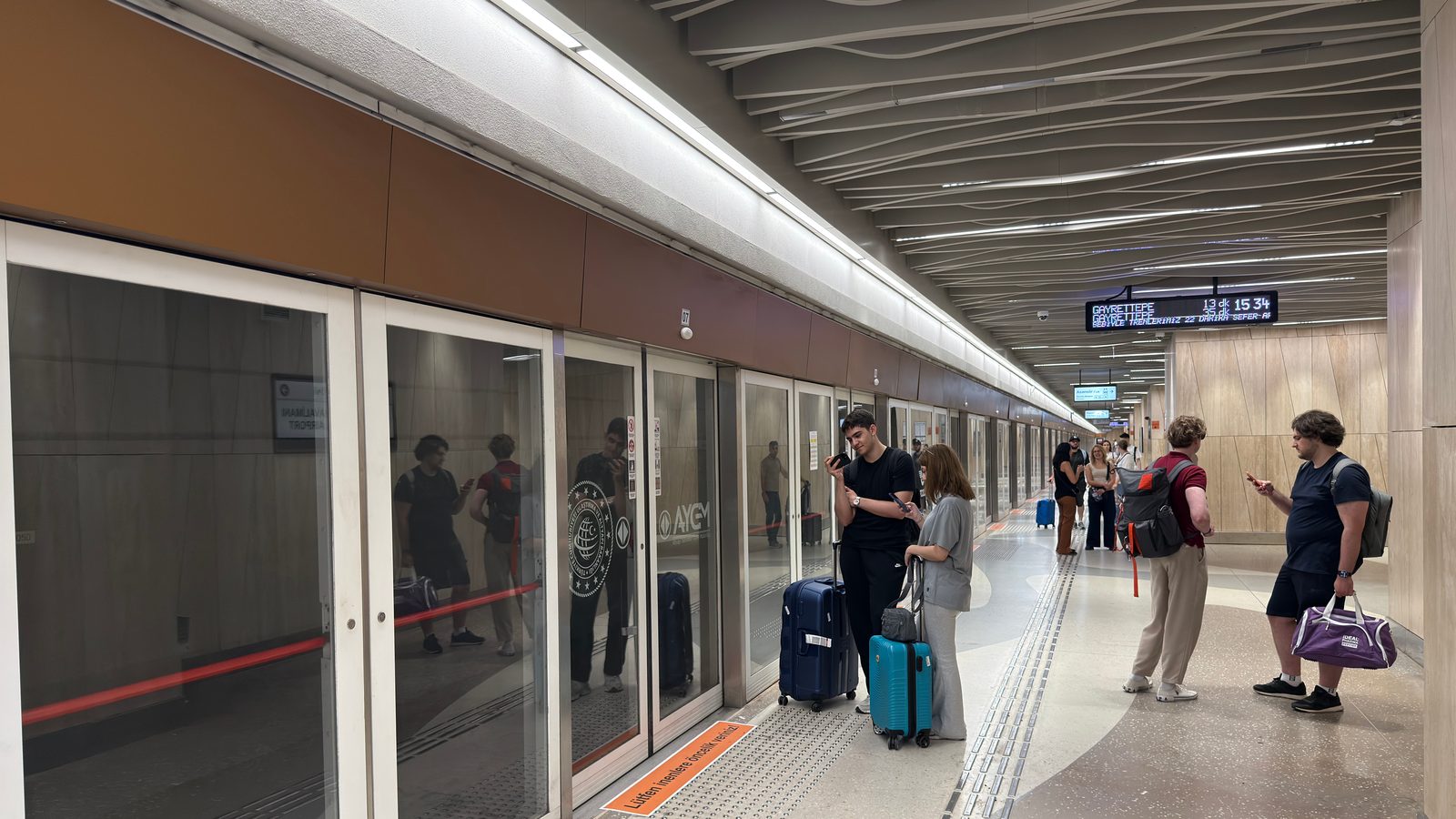
The M11 connects İstanbul Havalimanı (the new Istanbul Airport, on the European side) with the city. From the tourist core, take the M2 metro to Gayrettepe and change there. The line is operated by TCDD, the national railway company, rather than Metro İstanbul, but the İstanbulkart works at the gates (I’ve used it there myself). A further section onward to Halkalı opened in June 2026, extending the line beyond the airport.
If you’re arriving late, note that the last train from the airport into the city leaves at 00:21; see the official TCDD timetable for the full schedule.
For the full airport-to-city picture, including buses and taxis, see how to get from the new Istanbul Airport to Taksim or SultanahmetHow to Get from the New Istanbul Airport to Taksim or Sultanahmet or İstanbul Airport’s official public transport page.
M4 – Kadıköy–Sabiha Gökçen Havalimanı Line
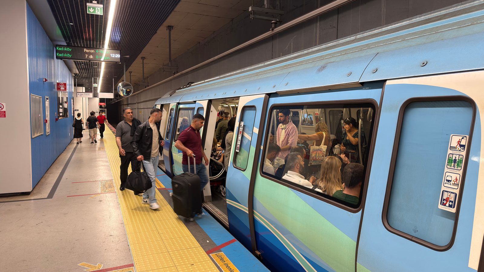
Sabiha Gökçen Airport, on the Asian side, is served by the M4 metro. Coming from the European side (Sultanahmet, Taksim, Karaköy), ride the Marmaray commuter train to Ayrılık Çeşmesi and change to the M4 there. The full ride from Kadıköy to the airport takes 52 minutes end to end.
For the Asian-side arrival in full, see how to get from Sabiha Gökçen Airport to Taksim or SultanahmetHow to Get from Istanbul Sabiha Gökçen Airport to Taksim or Sultanahmet.
M2 – Yenikapı–Hacıosman Metro Line
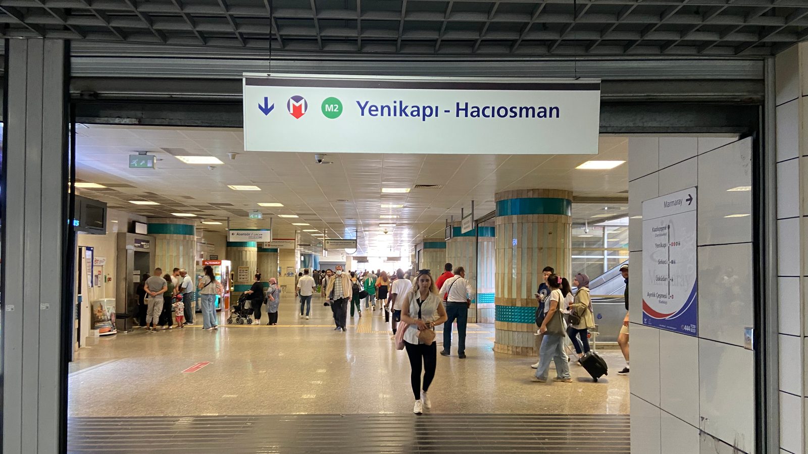
This line, the first real metro Istanbul had, consists of 16 stops over a 23.5 kilometer stretch. The metro, daily taken by about 500,000 people, is very safe and clean. The most important stops for tourists are:
-
Yenikapı: connection with the M1a metro line and MarmarayMarmaray Tunnel Connects Istanbul's European and Asian Side by Train, the train that crosses to the Asian side.
-
Vezneciler: interchange station to the T1 tram line.
-
Şişhane: Istiklal Caddesi (end), Galata (Tower), interchange station to the Tünel funicular (F2) and the T2 nostalgic tram
-
Taksim: Taksim, Istiklal Caddesi (start), Cihangir, Galata, connection to Kabataş via funicular (F1) and Eminönü/Sultanahmet via tramway (T1)
-
Osmanbey: a small walk to Nişantaşı, a fashionable shopping area with lots of nice cafésTop 10 Outdoor Cafes in Istanbul and restaurants, City’s shopping center
-
Gayrettepe: Zorlu Shopping Mall, and interchange to the M11 airport line
-
Levent: shopping centers such as Metrocity, Kanyon, and interchange station to M6 metro line.
-
İTÜ Ayazağa: İstinye Park shopping center (additional walk or short taxi ride required)
M6 – Levent–Boğaziçi Ü./Hisarüstü Metro Line
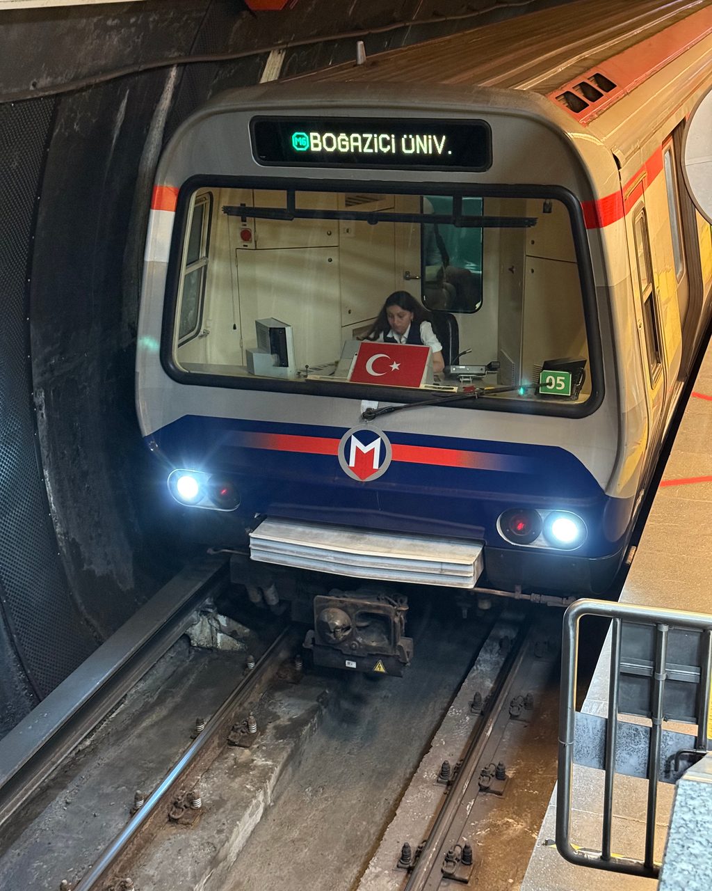
This is a very short metro line, mainly used by university students but also useful to reach the Akmerkez shopping center.
-
Levent: interchange station to M2
-
Etiler: Akmerkez shopping center
-
Boğaziçi Üniversitesi/Hisarüstü: Boğaziçi University, and connection to the F4 funicular down to Aşiyan on the Bosphorus
T1 – Kabataş–Bağcılar Tramway Line
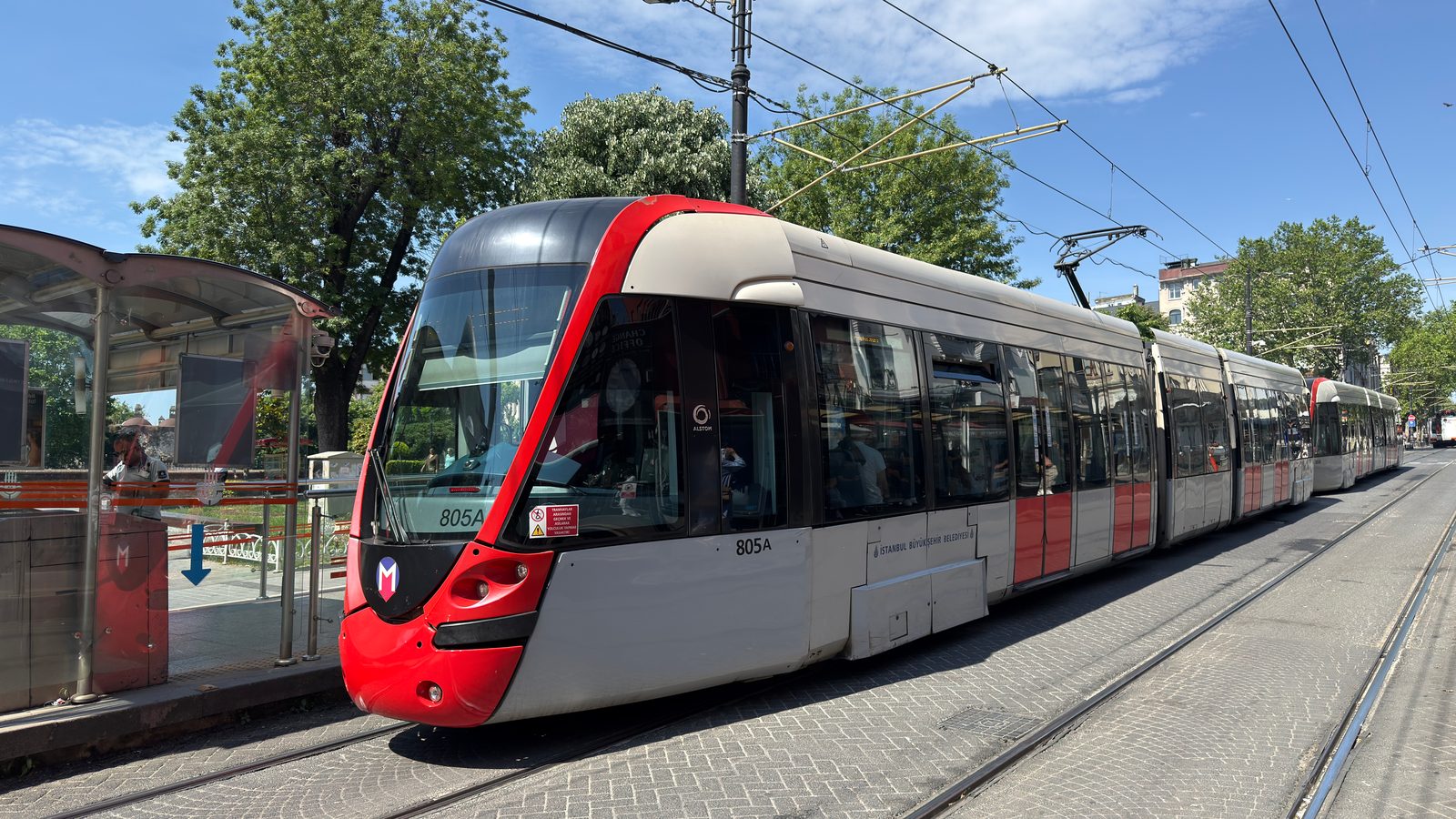
This is probably the most important line. This air-conditioned tramway basically connects Zeytinburnu with Sultanahmet, Beyoğlu and Taksim (by funicular). This line has many stops, but these are the ones of interest to tourists:
-
Zeytinburnu: connection with the M1a metro line.
-
Beyazit: Grand Bazaar, Süleymaniye Mosque
-
Sultanahmet: Topkapi Palace, Haghia Sofia, Blue Mosque, Basilica Cistern, etc.
-
Sirkeci: train station, connection to Marmaray
-
Eminönü: Spice Bazaar, ferry docks, connection to the T5 tram
-
Karaköy: connection to the Tünel funicular (F2), which brings you to the end of Istiklal Caddesi and Galata.
-
Tophane: Istanbul Modern, Galataport cruise ship docks
-
Kabataş: connection to Taksim via funicular (F1), connection to fast ferry or sea bus docks to the Princes’ IslandsWhy and How Should You Visit the Princes’ Islands in Istanbul? and Kadıköy, 5 min. walk to Dolmabahçe Palace
Get Skip the Line Access and Much More
T5 – Eminönü–Alibeyköy Tramway Line
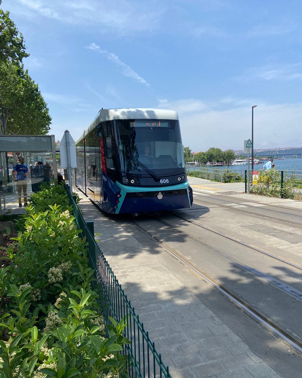
A newer line along the Golden Horn, and the easiest way to reach some of the city’s most atmospheric neighborhoods without a taxi or a long walk:
-
Eminönü: connection to the T1 tram, the Spice Bazaar and the ferry docks
-
Küçükpazar: connection to the M2 metro line
-
Fener and Balat: the famous colorful-house neighborhoods on the Golden Horn
-
Eyüpsultan Teleferik: cable car (TF2) up to the Pierre Loti hilltop café
-
Alibeyköy: connection to the M7 metro line
If Fener and Balat are on your list, the Balat, Chora Church and city walls tourIstanbul Tour in Balat Including Chora Church, City Walls and the Patriarchate pairs well with this line.
F1 – Taksim–Kabataş Funicular
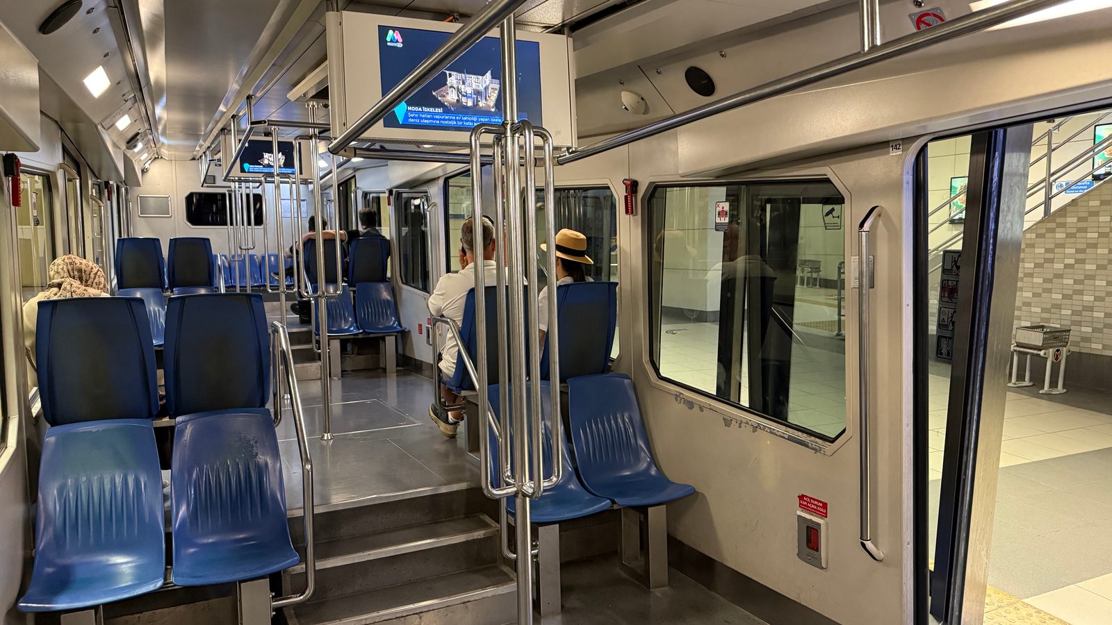
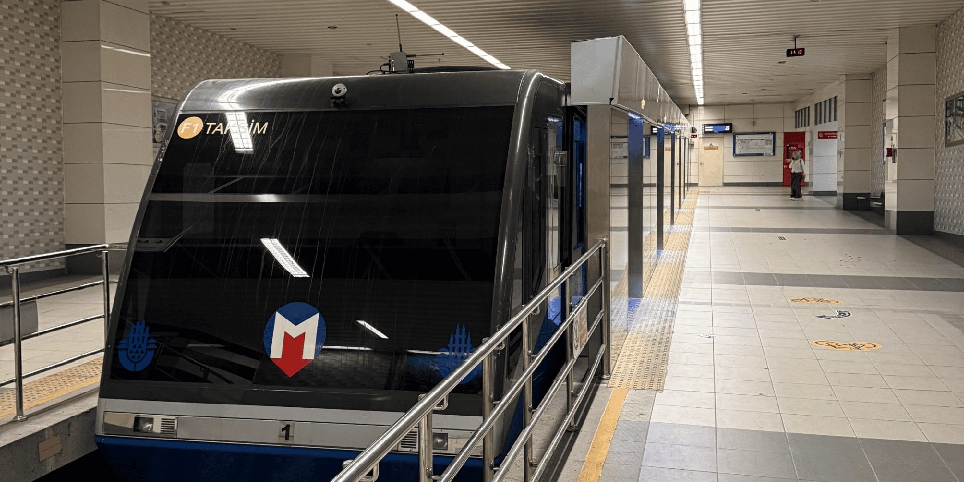
Connection between the Kabataş tram line station and Taksim (metro station). This modern air conditioned funicular ride takes only 2.5 minutes, and it saves you the steep climb between the Bosphorus shore and Taksim: the same problem how to avoid the steep climb to Taksim or CihangirHow to Avoid the Steep Climb to Taksim or Cihangir is about. From Kabataş you can walk to Dolmabahçe Palace, take the fast ferry boats to Kadıköy or the Princes’ IslandsWhy and How Should You Visit the Princes’ Islands in Istanbul?, and connect to the T1 tramway line to Eminönü, Sultanahmet, Grand Bazaar, etc.
F2 – Karaköy–Beyoğlu (Tünel) Funicular
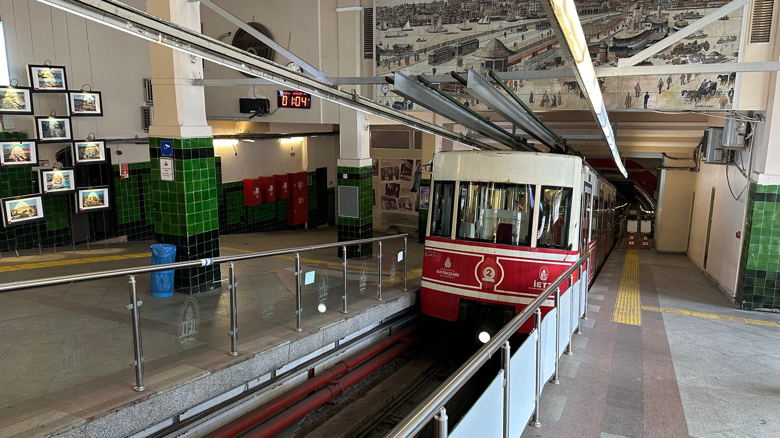
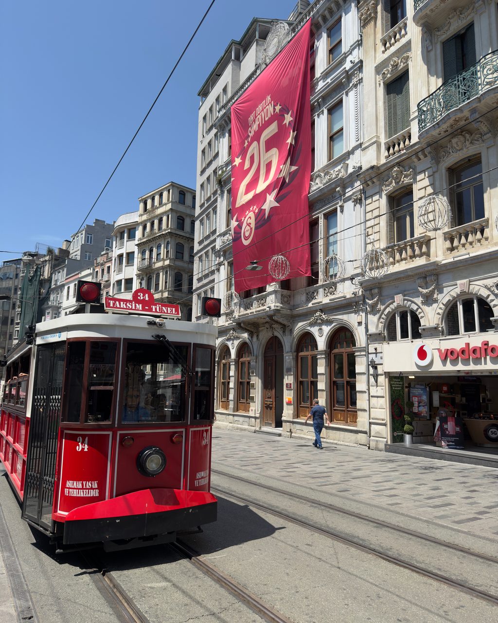
Opened in 1875, this is the second-oldest underground urban railway still running, after London’s (1863). The look of the trains still reflects this. This funicular takes you in 90 seconds 573 meters uphill to Tünel: the station at the end of Istiklal Caddesi is officially called Beyoğlu, but everyone still says Tünel. From there you can easily reach Galata by walking downhill or have a stroll on Istiklal Caddesi. Alternatively, you could take the T2 nostalgic tram until Taksim Square. Note the shorter hours below: the Tünel starts later and closes earlier than the metro lines.
M1a – Yenikapı–Atatürk Havalimanı Metro Line
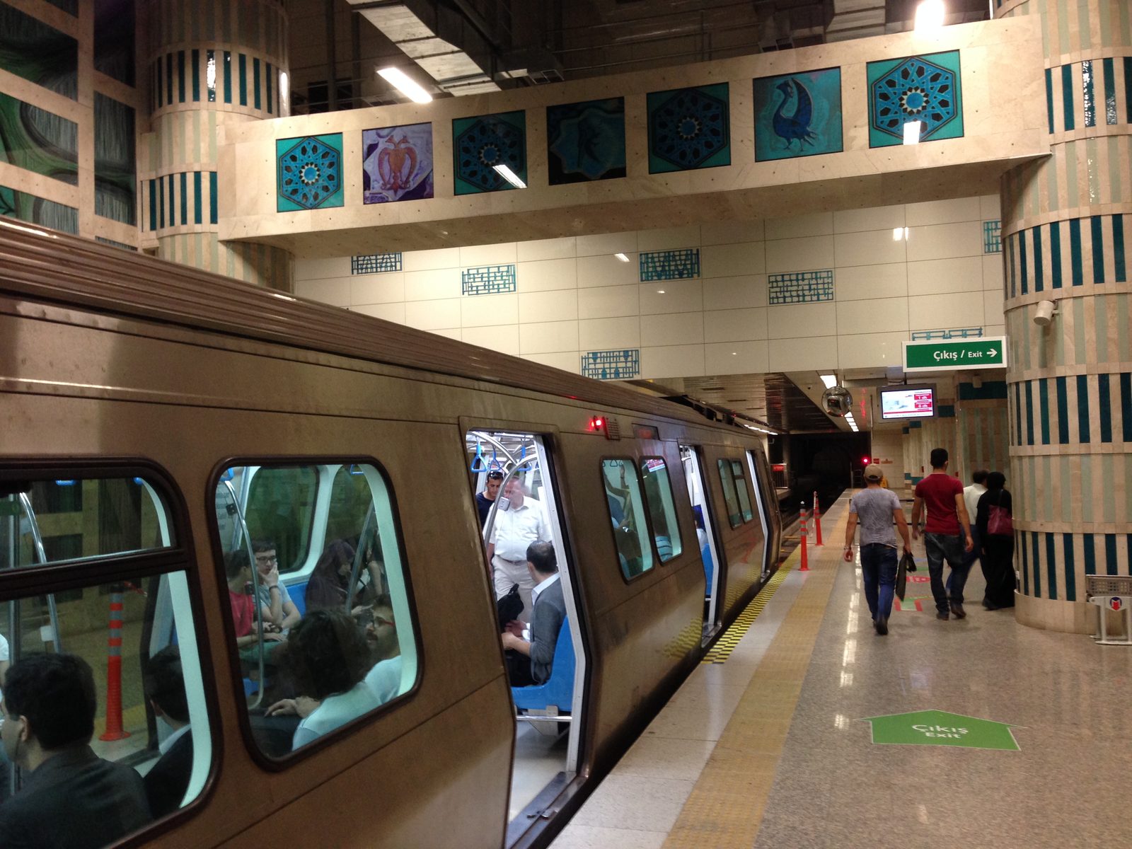
Metro in Yenikapı. © Erlend Geerts
One thing to get out of the way first: the final station is still called Atatürk Havalimanı (Atatürk Airport), but there have been no passenger flights there since 2019. If you’re flying into Istanbul, this is not your airport line; see the airport lines above. Where the M1a still matters is getting to the Otogar, Istanbul’s grand bus station, or the Kocatepe stop for Forum Istanbul. The line runs from that terminus, past the Zeytinburnu interchange station, to Yenikapı, a connection hub closer to the city center. Of the 18 stops, these are the important ones to keep in mind:
-
Atatürk Havalimanı: the old airport terminus; no passenger flights, so nothing here for a visitor catching a plane
-
Zeytinburnu: connection with the T1 tram line. Use this interchange station if Fatih, Sultanahmet, Sirkeci, Eminönü, Karaköy or Tophane is your destination.
-
Otogar: the grand Istanbul bus station, from here busses leave for many destinations inside and outside Turkey
-
Kocatepe: Forum Istanbul Shopping center
-
Aksaray: interchange station to the T1 tram line. Important: this requires you to walk a bit and take a road underpass consisting of steep stairs only. I do not recommend this interchange station.
-
Yenikapı: connection to the M2 metro line and to Marmaray, the train that crosses to the Asian side. Use this interchange station if your destination is Taksim, Galata, Cihangir, Nişantaşı, Şişli or Mecidiyeköy.
Istanbul Transportation Map for Tourists
I created an Istanbul transit mapIstanbul Transportation Map With Places of Interest focusing on tourists’ needs. You can open it full size, print it, or download it as an SVG, and it now includes the M11 and M4 airport lines, the T5 tram, the TF2 cable car and Marmaray.
That’s the network that matters for a visit: T1 and M2 for the sights, F1 and F2 for the hills, M11 and M4 for the flights, and the M1a if the bus station or a shopping mall is on your plan. Enjoy your stay.